Anyone who hikes, sails or travels by camper van knows the moment: the signal drops, the navigation app spins in circles, the battery runs down. Precisely where orientation matters most, in the mountains, at sea, in remote regions, the smartphone often lets you down.
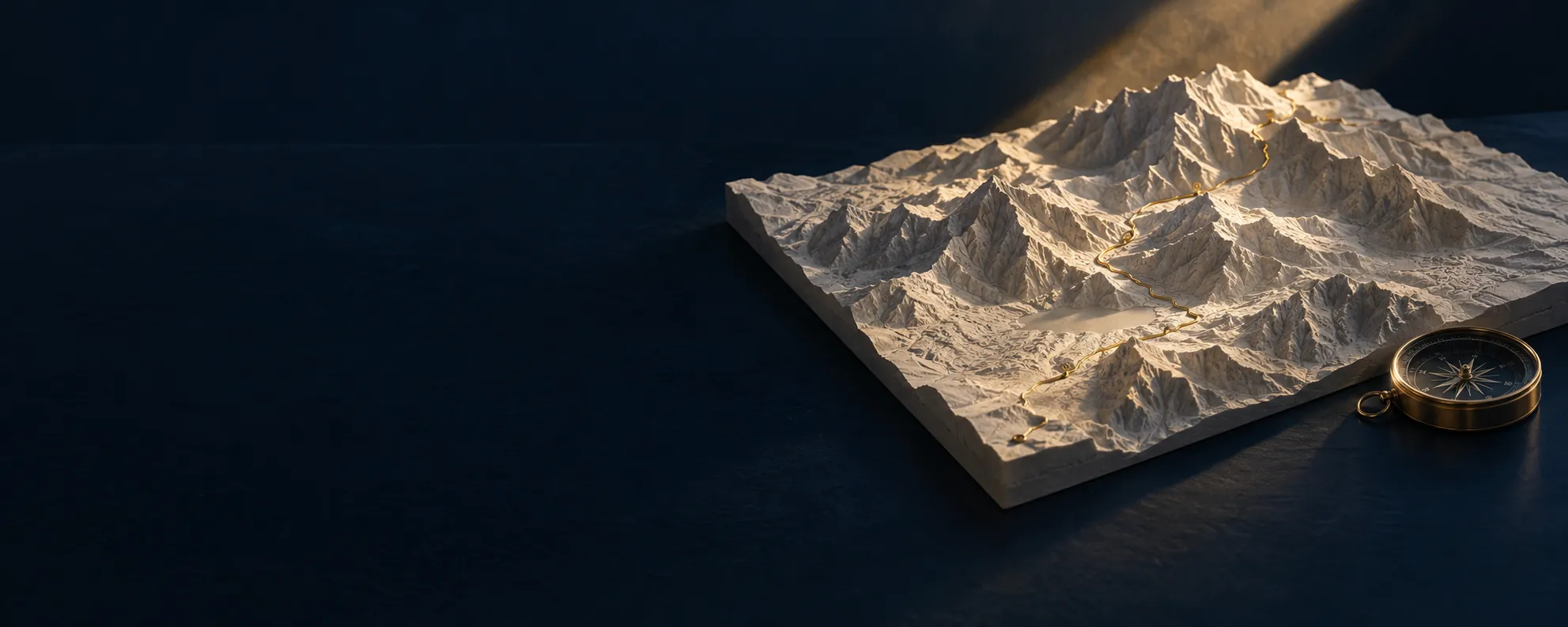
The paper map never had this problem. It was simply there. But it shows neither your own position nor which path is currently closed. TerraNav combines both: the reliability of the map with the possibilities of the digital world.
The idea in three sentences
- Offline first. Maps and positioning work without mobile coverage. New data is added as soon as a connection is available again.
- Layers for every route. Hikers, sailors, campers or motorcyclists show exactly the information they need.
- Independent. Orientation that does not depend on your phone battery or the nearest mast.
A map never loses its signal. Its digital successor should be the same.
Why TerraNav belongs in the Nature section
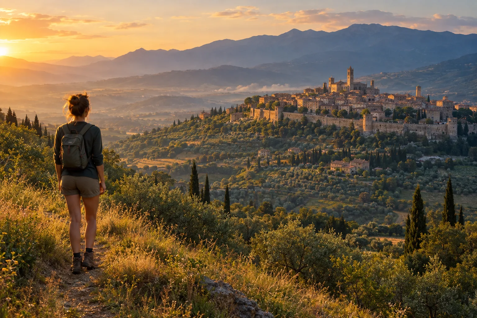
TerraNav is about free orientation in nature: travelling safely, finding paths, knowing your way out, and experiencing the landscape instead of watching a loading bar. Those who find their way with confidence stay on the paths and get home safely.
Link to Canovia
One of the planned layers belongs to dogs: vets, dog beaches, off-lead areas and dog-friendly accommodation, curated by Canovia from the Animals section. This is how the Lighthouse projects work together.
Get involved
TerraNav is a concept looking for partners to bring it to life: from navigation, cartography, hardware and outdoor tourism. Lighthouse Projects International holds these conversations under a non-disclosure agreement.